Mapping the Chili Regions of Cincinnati
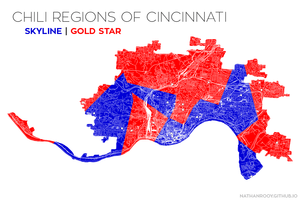
First post on my first blog ever! I created a voronoi diagram based off the locations of the two major chili chains in Cincinnati; Skyline and Gold Star. In simplest terms, the color correlates to which chili chain you’re closest to based off linear distance (not network distance). So whether your allegiance is with Skyline or Gold Star, the territories have been established!
Notes:
The restaurant latitude/longitude positions were scraped off Google Maps and imported into QGIS via a CSV layer. The base map was downloaded from OpenStreetMaps and trimmed using the “Metropolitan and Micropolitan Statistical Areas and Related Statistical Areas” shapefile available from the U.S. Census.